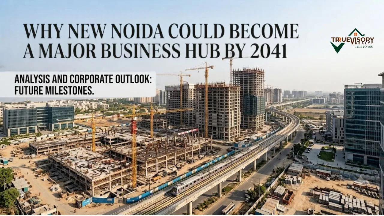
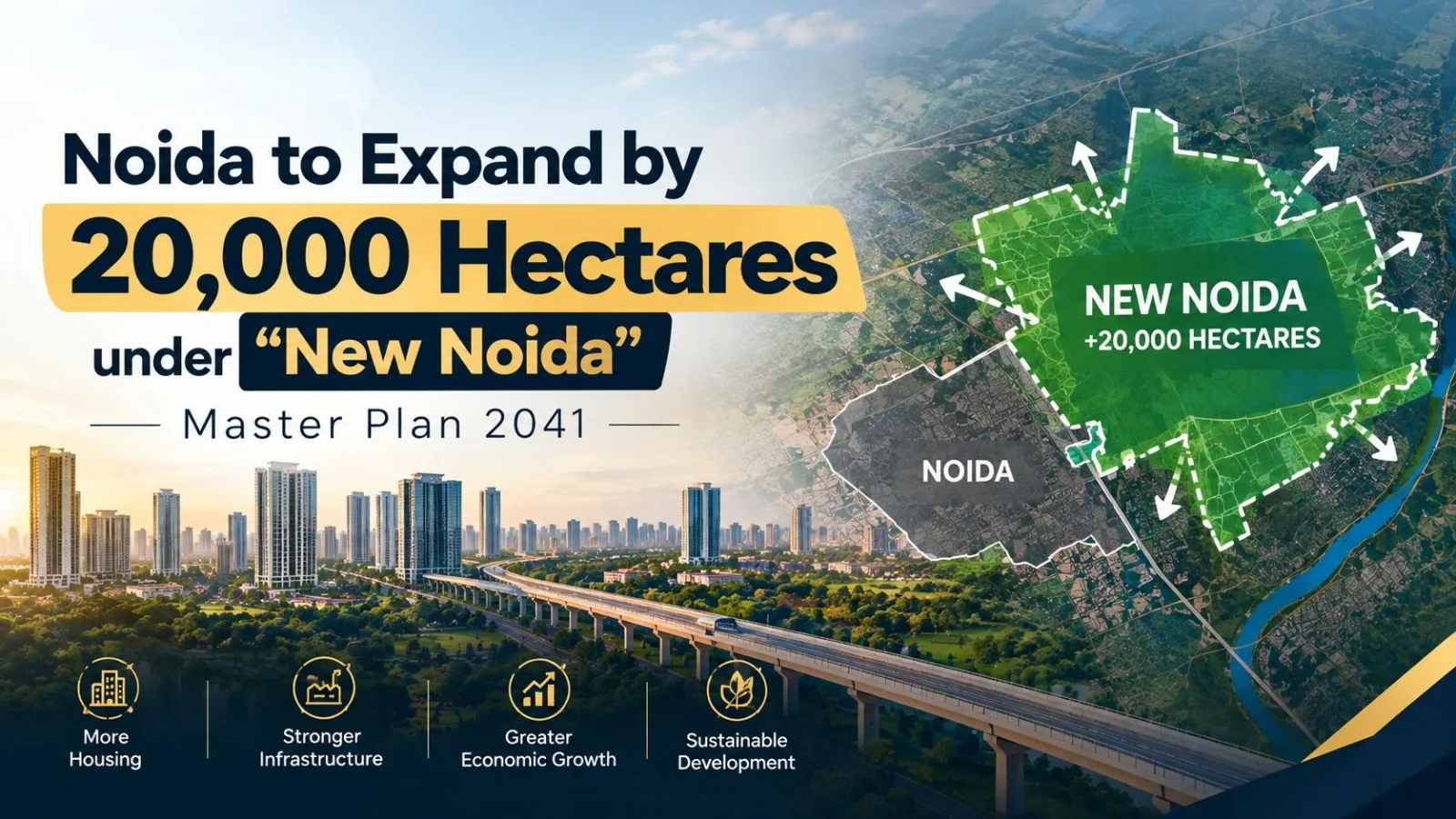
The National Capital Region (NCR) is undergoing a major urban transformation. With core Noida running out of vacant land and nearly 90% of its 168 sectors fully built out, the Uttar Pradesh state government and the Noida Development Authority have rolled out the Master Plan 2041 for New Noida.
Officially named the Dadri-Noida-Ghaziabad Investment Region (DNGIR), this ambitious greenfield project will expand the footprint of Noida by over 20,000 hectares (approx. 209 square kilometers). Encompassing 84 villages across the Gautam Buddha Nagar and Bulandshahr districts, New Noida is positioned to become North India’s next major industrial, warehousing, and commercial hub.
Key Highlights: New Noida at a Glance
|
Parameter |
Project Details |
|
Official Name |
Dadri-Noida-Ghaziabad Investment Region (DNGIR) |
|
Total Area |
~20,911 Hectares (approx. 209 sq km) |
|
Executing Body |
Noida Development Authority |
|
Villages Included |
84 Villages (21 in Gautam Buddha Nagar, 63 in Bulandshahr) |
|
Phased Development |
4 Phases through 2041 |
|
Target Population |
~6 Lakh (600,000) residents |
|
Expected Job Creation |
5 Lakh to 6 Lakh jobs by 2030 |
|
Core Focus Areas |
Industrial clusters, Logistics, IT/ITeS, SEZs, Agro-processing |
Why Is New Noida Necessary?
Over the last two decades, Noida has evolved from a suburban industrial satellite city into a thriving commercial metropolis. However, rapid growth has brought spatial limitations:
- Land Scarcity in Core Noida: With legacy sectors virtually saturated, land acquisition in existing zones has reached a standstill.
- Escalating Real Estate Prices: Average asking prices in core Noida have surged to premium levels, making entry difficult for mid-market buyers and industrial occupiers alike.
- Industrial & Logistics Demand: The rise of multinational electronics manufacturing, EV production, and e-commerce supply chains requires vast continuous land parcels that core Noida can no longer offer.
New Noida serves as the strategic relief valve to absorb spillover growth while preventing unplanned, haphazard urban sprawl in surrounding peri-urban areas.
Strategic Master Plan & Land Allocation
Unlike traditional urban hubs that prioritize high-density residential developments, DNGIR is specifically planned as an industrial-led investment region.
The Master Plan 2041 allocates land use with a heavy tilt toward employment generation:
New Noida Land Use Breakdown (Master Plan 2041)
- Industrial & Logistics (~40%): Designated for heavy and light manufacturing, electronics manufacturing clusters (EMCs), cold storages, logistics parks, and agro-based industries.
- Greenery & Environmental Infrastructure (~18%): Features expansive green belts, urban forests, 58+ hectares of water bodies/lakes, and canal systems designed for climate mitigation and rainwater runoff control.
- Residential & Group Housing (~13%): High-density and low-density residential sectors supporting workers and executives.
- Commercial & Trade Hubs (~12%): Trade centers, corporate offices, retail spaces, and hospitality sectors.
- Institutional & Utilities (~17%): Skill development institutes, public utilities, emergency services, and broad transit corridors.
4-Phase Development Roadmap
The Noida Development Authority has structured DNGIR’s growth into four distinct phases spanning through 2041:
Phase 1 (Target: 2024 – 2028)
Focuses on acquiring approximately 1,437 to 3,165 hectares of initial land, carving out basic sector boundaries, and constructing primary arterial and sub-arterial road networks.
Phase 2 (Target: 2028 – 2034)
Expands work into northern and southern sectors, bringing an additional ~3,136 hectares into industrial and manufacturing readiness.
Phase 3 (Target: 2033 – 2039)
Adds roughly 5,900 hectares focused heavily on establishing commercial complexes, international trade centers, and industrial hubs aligned with the Eastern Peripheral Railway line.
Phase 4 (Target: 2037 – 2043)
Finalizes outer-ring industrial sectors, expands public amenities, and completes high-density residential townships to round out the 20,000-hectare footprint.
On-the-Ground Progress & Institutional Setups
The project has transitioned from concept maps to execution:
- New Administrative Work Circles: To accelerate land acquisition, survey activities, and sector demarcations, the Noida Authority created dedicated work circles (numbered 11, 12, and 14) specifically for New Noida.
- Enhanced Farmer Compensation: To ensure smooth land assembly without litigation delays, authorities hiked farmer land compensation rates to ₹6,459 per square meter (or ₹4,300/sqm for direct land purchase categories), aligning payouts closely with neighboring YEIDA norms.
- Multimodal Infrastructure Connectivity:
- Rail & Logistics: Directly connected to the Eastern Dedicated Freight Corridor (EDFC) via the Dadri Multimodal Logistics Hub (MMHL).
- Expressways: Connected to the Eastern Peripheral Expressway (EPE), Yamuna Expressway, and the Noida-Greater Noida Expressway network.
- Air Transit: Quick access to the upcoming Noida International Airport at Jewar via dedicated link roads.
Investment Outlook: What It Means for Buyers & Businesses
For Industrialists & Corporate Occupiers
New Noida represents one of the largest planned industrial catchments in Northern India. Companies seeking contiguous land parcels for data centers, electronics manufacturing, auto assembly, or warehousing will find DNGIR significantly more cost-effective than core NCR locations.
For Real Estate Investors
-
Long Horizon Required: Unlike ready-to-move markets in Greater Noida West or Yamuna Expressway, New Noida is a long-term infrastructure and land-development play. Primary residential launches from the Authority are expected closer to 2028–2030.
- Beware of Speculation: Buyers should avoid unapproved private builder "pre-launches" or speculative village land plots marketed as New Noida. Only buy Authority-allotted or RERA-registered schemes once officially released.
Key Challenges to Track
While the long-term fundamentals are strong, potential bottlenecks remain:
- Land Acquisition Timelines: Consent-based land collection across 84 villages requires sustained negotiation and budget allocation.
- Infrastructure Sequencing: Off-site utility provisioning—including high-voltage power lines, water lines, and sewage treatment plants—must keep pace with industrial plot allotments.
Summary
The expansion of Noida by 20,000 hectares under the New Noida Master Plan 2041 is a definitive milestone in the urban evolution of the National Capital Region. By striking a balance between heavy industrial allocation, logistics infrastructure, and green ecological corridors, DNGIR is positioned to emerge as an economic engine for Uttar Pradesh over the next two decades.